MENU
Welcome to the Yandama Creek where the traditional owners are the Malyangapa people. We pay our respects to the elders past, present and emerging.
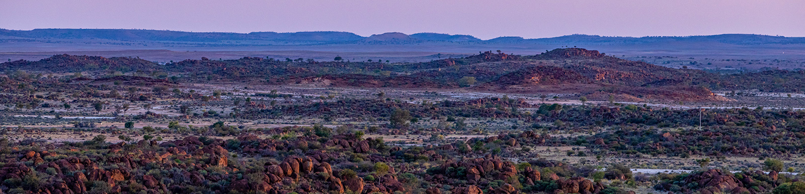
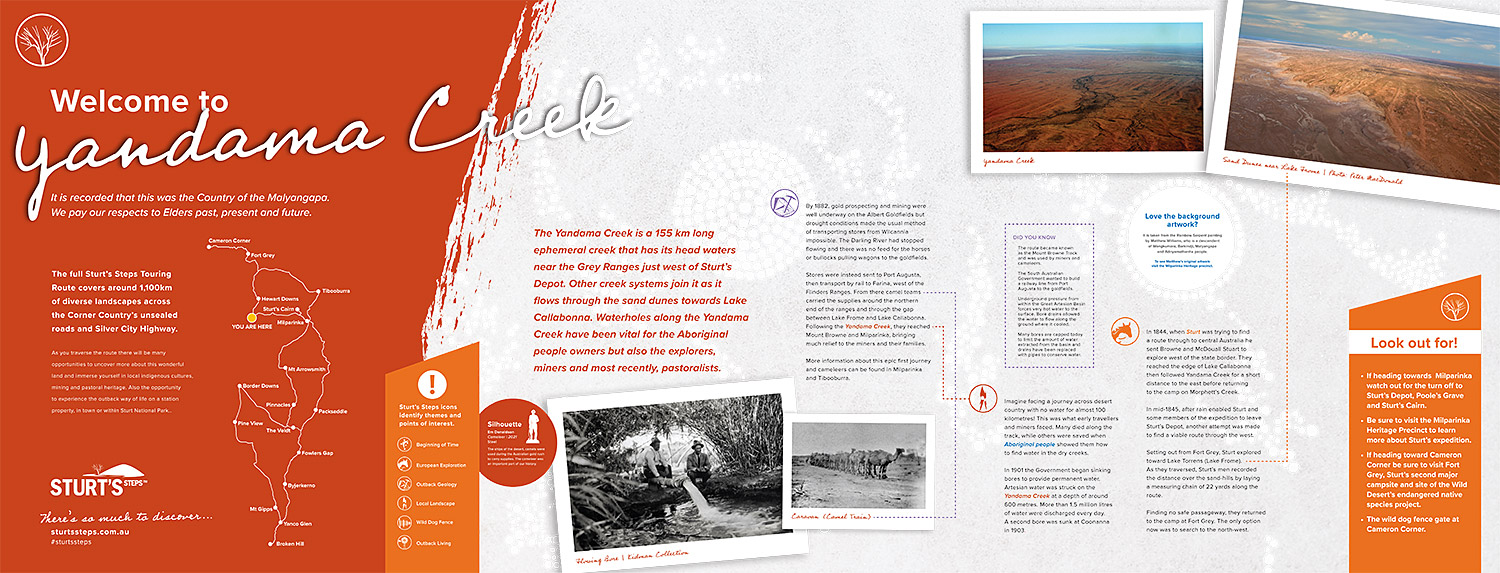
The Yandama Creek is a 155 km long ephemeral creek that has its head waters in the Grey Range just west of Sturt’s Depot. Other creek systems join it as it flows through the sand dunes towards Lake Callabonna.
Waterholes along the Yandama Creek have been vital for the traditional owners but also the explorers, miners and most recently, pastoralists.
Yandama creek is situated on the Mura Track which begins at Ularara waterhole near Wanaaring on the Paroo River and winds its way across the country to the naturally radioactive Paralana Springs in South Australia. This is the story of the two Ngatji who created the waterholes and creeks on their journey. Here in Malyangapa Country, they are known as Kakurra.
Traditionally, these creeks and waterholes formed an integral route for tribes to come together for ceremony and trade, including as far as the Flinders Ranges in South Australia. They could follow the tracks across a vast and arid land. In later years, Aboriginal stock men and women used this knowledge to drive sheep and cattle for the pastoralists, navigating by the stars and remembered songlines, knowing where they would find water to sustain them on their journey.
A large Aboriginal population lived on Yandama Station until the drought years at the turn of the 19th century when they were forced to disperse from their lands and move into towns where they would be provided rations. In 1901, the police officer in Milparinka reported ‘station owners can no longer afford to give the Aborigines food’ and even the game of kangaroos and rabbits had all but disappeared. He witnessed a corroboree gathering of 70 people which had to disperse and scatter for want of food. He pleaded for rations of flour, tea and sugar to save them from hunger.
This was an important turning point for a generation who still followed their ‘native manners and customs’ but had to adapt to survive.
In 1844 when Sturt was trying to find a route through to central Australia he sent Browne and Stuart to explore to west of the state border. They reached the edge of Lake Callabonna before following the Yandama Creek for a short distance to the east, before returning to the camp on Morphetts Creek.
In mid-1845, after rain enabled Sturt and some members of the expedition to leave Sturt’s Depot, another attempt was made to find a viable route through the west.
Setting out from Fort Grey, Sturt explored toward Lake Torrens (Lake Frome). As they went Sturt’s men recorded the distance over the sand-hills by laying a measuring chain of 22 yards along the route.
Finding no safe passageway, they returned to the camp at Fort Grey. The only option now was to search to the north-west.
By 1882 gold prospecting and mining was well underway on the Albert Goldfields but drought conditions made the usual method of transporting stores from Wilcannia impossible. The Darling River had stopped flowing and there was no feed for the horses or bullocks pulling wagons to the goldfields.
Stores were instead sent to Port Augusta, then transport by rail to Farina, west of the Flinders Ranges. From there camel teams carried the supplies around the northern end of the ranges and through the gap between Lake Frome and Lake Callabonna. Following the Yandama Creek, they reached Mount Browne and Milparinka, bringing much relief to the miners and their families.
More information about this epic first journey and cameleers can be found in Milparinka and Tibooburra.
Imagine facing a journey across desert country with no water for almost 100 kilometres! This was what early travellers and miners faced. Many died along the track, while others were saved when Aboriginal people showed them how to find water in the dry creeks.
In 1901 the Government began sinking bores to provide permanent water. Artesian water was struck on the Yandama Creek at a depth of around 600 metres. More than 1.5 million litres of water were discharged every day. A second bore was sunk at Coonanna in 1903.
Sir Sidney Kidman acquired Yandama Station during World War One after it had been in the Dawes family for many years. A substantial homestead complex was located on the bank of the Yandama Creek and a waterhole weir had been built across it further to the west, for washing wool. Up to 120 people were employed on the property, many of them aboriginal.
With the adjoining properties of Kilpara and Paradise, Yandama Station carried between 40,000 and 50,000 sheep. Kidman converted the property mostly to cattle, carrying around 7000 head.
In 1945 the Western Lands Leases expired and the property was divided into smaller allotments. This enabled soldier-settlers and others to acquire land. The Yandama lease was taken up by Keith Conners and is still owned by his descendants.
In the 1880s, desperate to control the plagues of rabbits that were destroying vegetation and threatening native habitats across Australia, Governments agreed to build a wire-netting “rabbit proof” fence.
Millions of rabbits were eliminated from the environment by preventing them access to feed. Poisoning and trapping was also done in large scale.
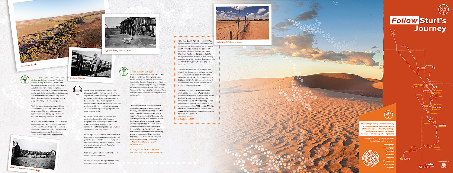
By the 1900s the focus of feral animal control had moved to wild dogs and dingoes which predated upon pastoralists’ sheep and calves, and led to the construction of the longest single-structure in the world, the “dog fence”.
Reaching 5400 kilometres from Jimbour in Queensland to the Great Australian Bight it joins the Queensland border at Hungerford before following it west to Cameron Corner and south along the South Australian border to Quniyambi.
From Quinyambi it turns westward again until it reaches the coast.
In 2021 the fence is being extended along the state borders in both directions.