John Brewer Cameron, surveyor of the border between Queensland and New South Wales
The official survey of the 29th latitude South which forms the Queensland-New South Wales border was undertaken by John Brewer Cameron between 1879 and 1880.
The purpose of the survey was to define the state border to enable land to be legally taken up by pastoralists, as well the establishment of customs-collection houses on the borders of Queensland and New South Wales.
Cameron and his team, together with George Chale Watson representing Queensland, began the survey to the west of Barringun on the east bank of the Warrego River where they erected the “zero” obelisk on 15th September 1879.
Watson was responsible for chaining, Cameron for the astronomical work.
This was a very challenging survey across inhospitable country. At times the men had to build a boat to cross swollen rivers, on other occasions they almost perished for want of water. Some suffered from scurvy and one of the horses died.
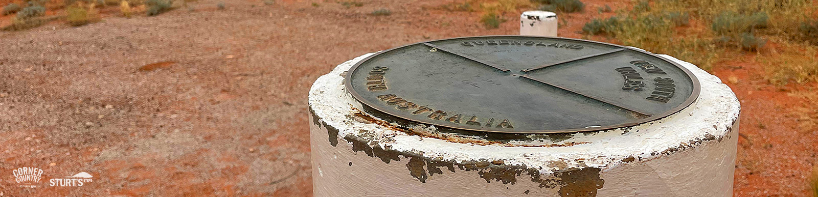
In March1880, at the 100 mile mark, Cameron continued on his own reaching the 29th parallel on September 30th 1880. Unable to find stone to build the final obelisk, the point was marked with a wooden post.
Today we know the locality as Cameron Corner where three states meet.
More information about Cameron and the survey can be found in Sturt’s StepsTibooburra museum.
For additional information about surveying generally please download the following document.